
How to Use Drone Technology to Assess Land Opportunities in Romania
The emergence of drone technology has revolutionized various industries, and its applications in land assessment are particularly noteworthy. In Romania, where vast landscapes and diverse geographical features offer both challenges and opportunities for land use, employing drone technology has become an effective strategy for property assessment, agricultural monitoring, and land development planning. This article will delve into how drone technology can be harnessed to assess land opportunities in Romania, exploring its benefits, implementation strategies, and potential use cases.
Understanding Drone Technology in Land Assessment
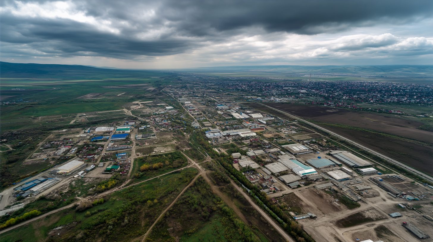
Drone technology refers to the use of unmanned aerial vehicles (UAVs) equipped with high-resolution cameras and sensors to capture aerial imagery and data. In the context of land assessment, drones facilitate detailed and accurate evaluations of topography, vegetation, and overall landscape conditions. By utilizing drone technology, assessors can gather data efficiently, reducing the time and cost associated with traditional land surveying methods.
Benefits of Using Drone Technology to Assess Land in Romania
1. High Resolution and Accuracy: Drones equipped with sophisticated sensors can capture high-resolution images that reveal vital information about the land’s condition. This level of detail is crucial for identifying land opportunities, such as assessing soil health, monitoring crop health, and identifying land use conflicts.
2. Cost-Effective: Traditional methods of land assessment often involve extensive manpower and resources. In Romania, where many remote areas lack accessibility, utilizing drones streamlines the process and reduces costs significantly.
3. Time Efficiency: Drones can cover large areas in a fraction of the time required for traditional surveying. This rapid data acquisition allows stakeholders to make quicker decisions based on real-time information.
4. Safety: Drones mitigate risks by allowing assessors to gather data from dangerous or hard-to-reach areas without endangering personnel. For example, inspecting steep terrains or hazardous sites becomes much safer with drone technology.
5. Comprehensive Data Collection: Drones can be outfitted with various sensors, including LiDAR and multispectral cameras, providing multi-dimensional data that is invaluable for assessing land opportunities. This multidimensional approach allows for detailed analysis of soil types, vegetation cover, and land use suitability.
Implementing Drone Technology for Land Assessment in Romania
To effectively harness drone technology for land assessment in Romania, stakeholders need to consider several key steps:
1. Identify Objectives: Clear objectives are essential. Stakeholders should define what they aim to achieve with drone technology, whether it’s agricultural monitoring, urban planning, or natural resource management.
2. Select the Right Drone: Depending on the objectives, selecting the appropriate UAV and sensors is critical. Each drone has different capabilities and payloads, which may be better suited for specific assessment types.
3. Obtain Required Permits: In Romania, flying drones may require specific permits or adherence to regulations outlined by the Romanian Civil Aeronautical Authority. Ensure compliance to avoid legal issues.
4. Plan the Survey: Proper planning includes determining the flight path, altitude, and data collection methods. Establishing a systematic approach will yield consistent and reliable data for analysis.
5. Conduct the Survey: Execute the flight plan, ensuring that the drone captures the necessary data. During this phase, maintain communication with the drone operator and ground support to manage any unforeseen challenges.
6. Analyze and Interpret Data: After data collection, the information must be processed and analyzed using specialized software. Stakeholders can convert the raw data into actionable insights and maps that summarize land opportunities.
7. Present Findings: The final step is to present the findings to relevant stakeholders. Clear visualizations and reports will help facilitate informed decisions regarding land usage and development.
Use Cases of Drone Technology in Romania
1. Agricultural Monitoring: In Romania’s agricultural sector, drones can assess crop health, monitor irrigation systems, and identify areas of pest infestations. By capturing multispectral images, farmers can apply targeted interventions, improving yield and resource efficiency.
2. Environmental Assessments: Drones can assess biodiversity, monitor deforestation, and map natural habitats in Romania’s rich ecological regions. This data is essential for conservation efforts and sustainable land management practices.
3. Real Estate Development: For urban planners and real estate developers, drones provide accurate topographical maps and site surveys, essential for feasibility studies and project planning. They help visualize land potential and identify constraints.
4. Infrastructure Inspections: Drones can be utilized for inspecting infrastructure such as roads, bridges, and pipelines located in remote areas of Romania. This application not only enhances safety but also supports infrastructure maintenance and planning.
5. Land Use Planning: Local governments can leverage drone technology to assess land use patterns and zoning issues. Drones facilitate comprehensive evaluations of urban sprawl, land availability, and infrastructure needs.
Challenges and Considerations
While the benefits of drone technology in land assessment are significant, there are challenges to consider. Weather conditions can impact flight operations, while data processing requires technical expertise. Furthermore, local regulations around drone flights must be carefully followed to ensure compliance and safety.
Conclusion
In conclusion, utilizing drone technology to assess land opportunities in Romania presents a myriad of advantages, from cost savings to enhanced data accuracy. By embracing this innovative approach, stakeholders—from farmers to urban planners—can make informed decisions that align with Romania’s evolving land use demands. The integration of drone technology not only streamlines the land assessment process but also contributes to the sustainable development of Romania’s diverse landscapes. As technology continues to advance, the applications of drone technology in land assessment will undoubtedly expand, further revolutionizing how land opportunities are identified and utilized in Romania.
Interested in Land Investment in Romania?
We specialize in high-yield land and property opportunities for serious investors.
VIEW OUR CURRENT PORTFOLIOSecure your investment with Land For Investors.
Published: April 14, 2025