
A Guide to Understanding Land Surveying Techniques in Romania
Land surveying is a crucial aspect of land management and construction projects across the globe. In Romania, a nation rich in history, culture, and natural landscapes, efficient land surveying is essential for urban planning, agricultural development, infrastructure projects, and more. This article aims to provide an in-depth look at the various land surveying techniques employed in Romania, their significance, and how they contribute to effective land management practices.
Understanding Land Surveying
Land surveying is the art and science of determining the terrestrial or three-dimensional position of points on the Earth and the distances and angles between them. This information is vital for various applications such as property delineation, topographic mapping, and construction planning. The techniques employed in land surveying can be categorized into traditional methods and modern technologies, both of which play significant roles in Romania’s surveying practices.
Traditional Land Surveying Techniques in Romania
Traditional land surveying methods have historical significance and are still used in various applications today. In Romania, conventional techniques include the following:
1. Chain Surveying: This basic method involves measuring distances using a chain or tape. Surveyors create a series of connected lines to outline boundaries or plot areas. Although time-consuming, chain surveying can be beneficial in open terrains free from obstructions.
2. Theodolite Surveying: A theodolite is an instrument used to measure horizontal and vertical angles. This technique allows for accurate angle measurement, which is essential in determining property boundaries and creating maps. Theodolite surveying remains a staple in Romania, particularly for large-scale projects like road construction and land subdivision.
3. Triangulation: Triangulation is a technique where surveyors establish control points through a series of triangles. By measuring the angles and distances between these points, surveyors can determine precise locations across larger areas. This method is vital for establishing geodetic networks in Romania.
4. Levelling: Levelling is employed to measure vertical distances, which are crucial for construction projects and topographic analysis. In Romania, leveling techniques like spirit leveling and barometric leveling are commonly used. Accurate leveling ensures that buildings and roadways are constructed on stable foundations.
Modern Land Surveying Techniques in Romania
Advancements in technology have revolutionized land surveying, introducing modern techniques that enhance accuracy, efficiency, and data collection. In Romania, these techniques include:
1. Global Navigation Satellite Systems (GNSS): GNSS technology, including GPS, allows surveyors to determine positions with extreme accuracy. This technique is particularly advantageous in Romania’s varied topography, where accessibility to traditional methods might be limited. GNSS also aids in real-time positioning, making it invaluable for construction and mapping projects.
2. Total Station: A total station is a modern surveying instrument that combines the functionalities of a theodolite and a distance meter. It enables surveyors to measure angles and distances simultaneously, providing immediate data analysis. In Romania, total stations are prevalent in both urban and rural landscape projects, streamlining the surveying process significantly.
3. Laser Scanning: Laser scanning captures precise three-dimensional data of landscapes and structures. This technology is beneficial for creating detailed digital models and facilitating infrastructure projects. Romanian architects and civil engineers increasingly rely on laser scanning for historical preservation, construction, and topographic surveys.
4. Geographic Information System (GIS): GIS is a powerful tool that allows surveyors to collect, manage, and analyze spatial data. In Romania, GIS plays a significant role in urban planning, resource management, and environmental assessments. By integrating various data layers, GIS helps stakeholders make informed decisions and fosters sustainable land use.
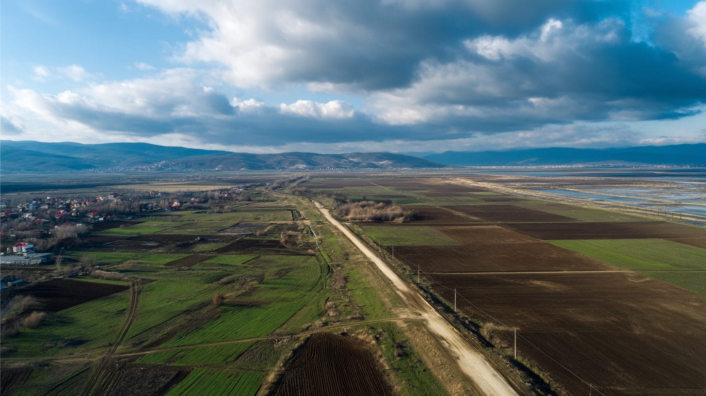
5. Drones: The use of unmanned aerial vehicles (UAVs), or drones, in surveying is increasingly popular in Romania. Drones equipped with high-resolution cameras and sensors can quickly gather aerial data, reducing the time and costs associated with traditional ground surveying methods. They are particularly useful for mapping large agricultural areas, planning infrastructure, and monitoring environmental changes.
The Role of Land Surveying in Romania
Land surveying techniques in Romania are crucial for multiple sectors, including real estate, agriculture, environmental monitoring, and urban development. Each sector relies on accurate data to make informed decisions about land use, property rights, and resource allocation.
1. Urban Planning: As Romania experiences urbanization, effective land surveying is vital to support city expansions, infrastructure development, and public service placement. Surveying techniques ensure that urban planners have accurate maps and data to guide sustainable growth.
2. Agriculture: In the agricultural sector, surveyors help optimize land use through soil mapping, crop planning, and efficient irrigation designs. Accurate surveying techniques ensure that resources are allocated wisely, promoting productivity and sustainability.
3. Environmental Management: Land surveying techniques play a significant role in environmental protection and monitoring. By collecting data on land use changes, natural resources, and ecological impacts, surveyors can support initiatives aimed at conserving Romania’s biodiversity and natural habitats.
4. Legal and Property Rights: Accurate surveys are crucial for defining property boundaries and resolving disputes. In Romania, the legal framework surrounding land ownership relies heavily on precise measurements to uphold property rights.
Conclusion
The effectiveness of land surveying techniques in Romania stems from the combination of traditional methods and modern technology. Each technique offers unique advantages and is applicable in different contexts, catering to the diverse needs of urban planners, farmers, environmentalists, and legal professionals.
As Romania continues to evolve, so too will the land surveying techniques employed in the country. A robust understanding of these methods not only supports effective land management but also contributes to sustainable development and efficient resource use. Whether through traditional methods like chain surveying and triangulation or modern advancements like GNSS and GIS, land surveying techniques in Romania play an indispensable role in shaping the country’s landscape for present and future generations.
Interested in Land Investment in Romania?
We specialize in high-yield land and property opportunities for serious investors.
VIEW OUR CURRENT PORTFOLIOSecure your investment with Land For Investors.
Published: April 14, 2025