
How to Use Drone Footage to Assess Land Near Bucharest
In recent years, the utility of drone technology has expanded across numerous industries, offering innovative solutions for various applications. One of the growing sectors benefiting dramatically from drone technology is real estate, particularly in evaluating land. This is especially relevant near Bucharest, where the demand for land assessments has surged in tandem with burgeoning urban development. The use of drone footage for land assessment represents a convergence of advanced technology and geographic analysis, enabling stakeholders to make well-informed decisions based on visual, data-driven insights.
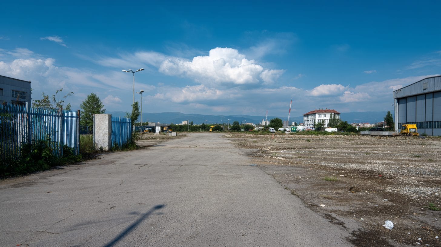
As Bucharest continues to evolve, it becomes vital for investors, property developers, and environmental analysts to utilize all available tools to assess land effectively. Drone footage offers a comprehensive overview of the terrain, topography, and surrounding infrastructure. This article delves into how drone footage can be employed to assess land near Bucharest, exploring its benefits, practical applications, and regulatory considerations.
Understanding Drone Technology
Drones, or unmanned aerial vehicles (UAVs), have revolutionized data acquisition and visualization. They are equipped with high-resolution cameras and GPS capabilities, allowing for the collection of detailed images and information over extensive areas without the need for extensive human labor. The ability to fly at various altitudes provides unique perspectives, making it easier to identify land features, analyze vegetation types, and assess nearby properties, all of which are critical for land assessment processes.
Why Use Drone Footage for Land Assessment?
There are several compelling reasons to integrate drone footage into the land assessment processes near Bucharest.
Firstly, the high-resolution imaging that drones offer allows for the capture of intricate details that traditional land surveys often miss. This higher level of detail empowers developers and investors to make more informed decisions regarding land purchasing, planning, and development activities.
Secondly, drone footage can be acquired rapidly, which is crucial given the fast-paced nature of real estate transactions. Unlike conventional surveying methods, which can take considerable time depending on the size of the land or complexity of the terrain, drones can provide footage in a fraction of that time. Furthermore, the ease of deployment facilitates quicker assessments, enabling property developers to maintain a competitive edge.
Thirdly, drone footage provides a comprehensive view of the land, offering insights into not just the property in question, but also its surrounding environment. This bird’s-eye view allows for an analysis of proximity to essential infrastructure, such as roads, schools, and hospitals, thus painting a complete picture for prospective buyers or developers.
Collecting Drone Footage in Bucharest
When considering using drone footage to assess land, it is essential to follow a comprehensive process. This begins with identifying the land area of interest and determining the specific objectives of the assessment. Common goals might include evaluating land topography, identifying potential land use, or assessing environmental impacts.
Next, it is critical to comply with local regulations regarding drone flights, especially in urban areas like Bucharest. The Romanian Civil Aeronautical Authority (RCAA) governs the use of drones in the country, necessitating that operators register their drones and acquire the necessary permits for commercial use. Understanding these regulations is paramount to ensure that the drone operations are conducted legally and safely.
Once permissions are secured, the next phase is deploying the drone itself. This involves either utilizing an experienced drone operator or choosing a reliable drone service provider. High-quality footage is crucial, so investing in drones equipped with advanced cameras is advisable; equipment with aerial mapping capabilities can further enhance the data collected.
Incorporating Drone Data into Land Assessments
The resulting drone footage can be processed using various geospatial analysis software tools. These tools enable stakeholders to manipulate and analyze the data creatively, transforming the images and videos into actionable insights. For instance, sophisticated software can produce 3D models of the land, allowing for a nuanced topographical analysis. This is especially useful in Bucharest, where land features can influence development potential.
Additionally, the integration of drone data with Geographic Information Systems (GIS) can help in overlaying drone imagery with existing maps, zoning information, environmental data, and infrastructure layouts. This layered approach facilitates making informed decisions based on various factors, such as land use regulations or environmental constraints.
Drone-generated data can also enhance property marketing. The availability of high-quality imagery can be leveraged to showcase specific land parcels, attracting potential buyers or investors. Memorable aerial footage can enhance advertising campaigns, providing visual appeal that resonates with audiences.
Challenges and Best Practices
While drone footage provides numerous advantages, it is not without challenges. Weather conditions can significantly influence data quality, with overcast skies or high winds posing risks to flight stability. To mitigate this, operators should aim to schedule flights during favorable weather conditions.
Moreover, ethical considerations related to privacy must be taken into account. It is crucial to respect the privacy of individuals by avoiding flights over populated areas without permission. Neighboring property owners should be informed beforehand, fostering transparent communications and minimizing any potential conflicts.
In addition to honoring privacy, land assessment teams should maintain a best practice approach by conducting thorough planning before initiating drone flights. This includes reviewing the flight path to maximize coverage, ensuring that all necessary permits are secured, and conducting a pre-flight checklist to guarantee all equipment functions appropriately.
Conclusion
In conclusion, the utilization of drone footage to assess land near Bucharest provides a superior method for visualizing and analyzing properties. As the demand for effective land evaluation continues to rise, the application of drone technology represents an innovative approach enabling stakeholders to make informed decisions based on precise insights. The high-resolution imagery, rapid acquisition times, and comprehensive environmental analysis provided by drones make them an invaluable tool in the real estate sector.
By adhering to local regulations, focusing on data integration, and maintaining ethical best practices, individuals and firms can harness the full potential of drone footage. As the city of Bucharest keeps expanding, understanding how to effectively utilize drone technology for land assessments will increasingly prove essential, ultimately shaping the future of urban development in the region.
Interested in Land Investment in Romania?
We specialize in high-yield land and property opportunities for serious investors.
VIEW OUR CURRENT PORTFOLIOSecure your investment with Land For Investors.
Published: March 13, 2025