
Using Satellite Imagery to Research Land in Romania
In the evolving landscape of land research and monitoring, satellite imagery provides an indispensable tool for scientists, urban planners, environmentalists, and agricultural experts. Romania, a country with a diverse geographical landscape that ranges from the majestic Carpathian Mountains to the fertile plains of the Danube, presents a unique case study for utilizing satellite imagery for land research. Factors such as changing land use, environmental challenges, and urban development make Romania an ideal candidate for this cutting-edge approach.
Satellite imagery land research in Romania benefits from several factors, including advancements in satellite technology, a wide array of remote sensing data, and the capacity to analyze vast areas with precision. These features empower researchers and policymakers to make informed decisions that impact Romania’s environmental policies, land management strategies, and sustainable development goals.
The Importance of Satellite Imagery in Land Research
Satellite imagery has completely revolutionized land research, allowing for the collection, analysis, and interpretation of landscape data at remarkable scales and resolutions. The data derived from satellites is invaluable in several areas:
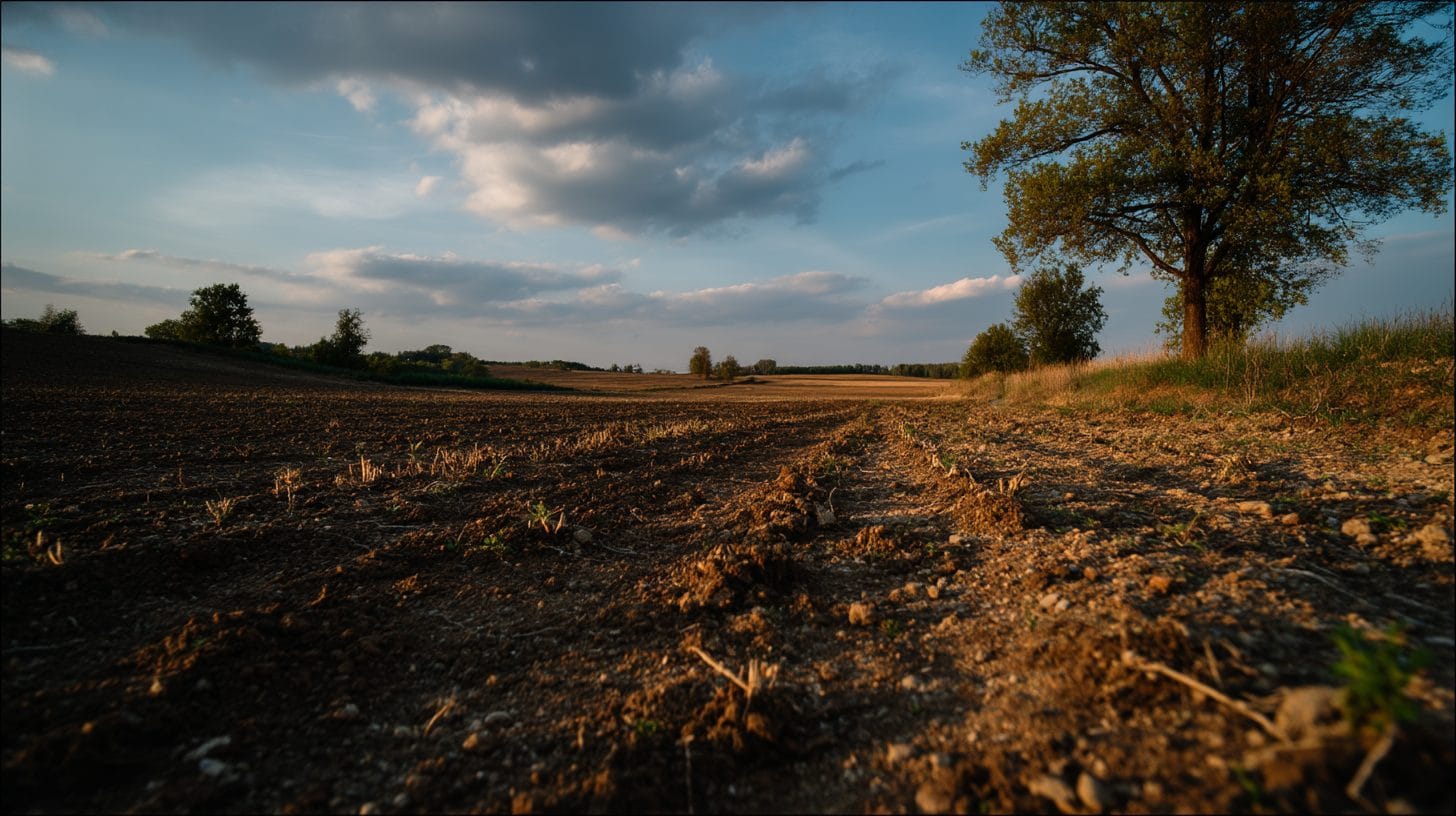
1. **Land Use and Land Cover Mapping**: Satellite images can reveal shifts in land use and land cover over time. In Romania, research based on satellite imagery can track changes in agricultural lands, deforestation rates, and urban expansion, which are critical for managing resources sustainably.
2. **Agricultural Monitoring**: Romania is one of the leading agricultural producers in Europe, and satellite imagery can be employed to monitor crop health, yield estimation, and land fertility. Utilizing indices such as NDVI (Normalized Difference Vegetation Index), researchers can assess vegetation health, enabling better crop management.
3. **Environmental Change Detection**: One of the significant challenges Romania faces is environmental degradation, including deforestation, soil erosion, and water pollution. Satellite imagery allows researchers to monitor these changes systematically, providing a clearer picture of environmental health, which can inform policy-making efforts.
4. **Urban Development and Planning**: Romania’s burgeoning urban areas require careful planning. Satellite imagery can aid in urban studies by analyzing sprawl patterns, infrastructure development, and population density changes, thus guiding municipal authorities in urban management.
5. **Disaster Management**: Romania is susceptible to natural disasters such as floods, landslides, and earthquakes. In such scenarios, satellite imagery can facilitate rapid assessment and response. Monitoring changes due to disasters informs recovery strategies and risk management frameworks.
Advancements in Satellite Technology
The last decade has witnessed significant advancements in satellite technology, which have enhanced the effectiveness of satellite imagery for land research in Romania. Today, a plethora of satellites equipped with high-resolution sensors provides precise data relevant for various applications. Satellites such as Sentinel-2, Landsat, and PlanetScope offer frequent revisits and extensive coverage, allowing for consistent land monitoring.
The integration of Synthetic Aperture Radar (SAR) technology into satellite systems further augments the analytical capabilities by providing data irrespective of weather conditions or daylight. This advancement has significant implications for land research, particularly in the context of Romania, where weather patterns can often obscure visibility.
Moreover, the rise of commercial satellite companies has led to an increase in the availability and affordability of high-resolution satellite imagery. This has democratized access to satellite data for researchers, universities, and independent organizations in Romania, previously limited by resources and technology constraints.
Case Studies and Applications
Several case studies exemplify the successful application of satellite imagery land research in Romania:
1. **Agricultural Study in the Danube Plain**: Researchers utilized satellite imagery to monitor crop health and land use patterns in the fertile plains of the Danube. The data enabled effective irrigation management and precision agriculture practices, enhancing yields and sustainability.
2. **Urban Expansion Analysis in Bucharest**: A detailed analysis of Bucharest’s rapid urbanization was conducted using high-resolution satellite images. The research provided insights into land use transitions, infrastructure development, and environmental implications, aiding in urban policy formulation.
3. **Forestry Monitoring in the Carpathians**: In the Carpathian Mountains, satellite imagery has been instrumental in monitoring deforestation and forestry management. By analyzing changes over time through remote sensing techniques, researchers have been able to communicate the impact of logging activities and propose conservation measures.
Challenges and Considerations
Despite its remarkable advantages, utilizing satellite imagery for land research in Romania is not without challenges. Data processing requires sophisticated analytical skills and software, which can be a barrier for some researchers. Additionally, ensuring the accuracy and precision of satellite-derived data is critical and may involve ground-truthing for validation purposes.
Moreover, ethical considerations surrounding data privacy and accessibility apply. It is imperative to ensure that satellite data is used responsibly and does not infringe on privacy or proprietary rights.
Future Directions in Satellite Imagery Land Research in Romania
The future of satellite imagery for land research in Romania looks promising. Collaborative efforts between governmental institutions, academic organizations, and private entities can bolster the use of satellite technologies for sustainable development. Emerging technologies such as machine learning and artificial intelligence can be integrated into the analysis of satellite data to provide even greater insights.
As Romania continues to navigate its environmental challenges and development goals, the role of satellite imagery land research will likely be pivotal. The synthesis of data from multiple sources and the application of interdisciplinary approaches will enhance the depth and breadth of land research in Romania.
Conclusion
In conclusion, satellite imagery is revolutionizing land research in Romania, providing powerful tools that aid in decision-making processes across various sectors. With its remarkable advantages, satellite imagery land research in Romania promises to drive forward sustainable land use, informed urban planning, and effective environmental management. As advancements in technology continue to unfold, Romania stands at the forefront of utilizing satellite data to promote a sustainable and vibrant future. Embracing this technology not only enhances research capabilities but also promotes a deeper understanding of land dynamics, ensuring that Romania can effectively address both current and future challenges.
Interested in Land Investment in Romania?
We specialize in high-yield land and property opportunities for serious investors.
VIEW OUR CURRENT PORTFOLIOSecure your investment with Land For Investors.
Published: April 15, 2025