
Title: How to Use Satellite Imagery to Assess Land Near Bucharest
In today’s rapidly evolving technological landscape, satellite imagery has emerged as a transformative tool for land assessment and urban planning. The ability to capture high-resolution images of the Earth from space empowers researchers, urban planners, and environmentalists to analyze land use, monitor changes in land cover, and make informed decisions regarding land management. This article outlines practical methods on how to use satellite imagery to assess land near Bucharest, focusing on its applications, advantages, and techniques for optimal use.
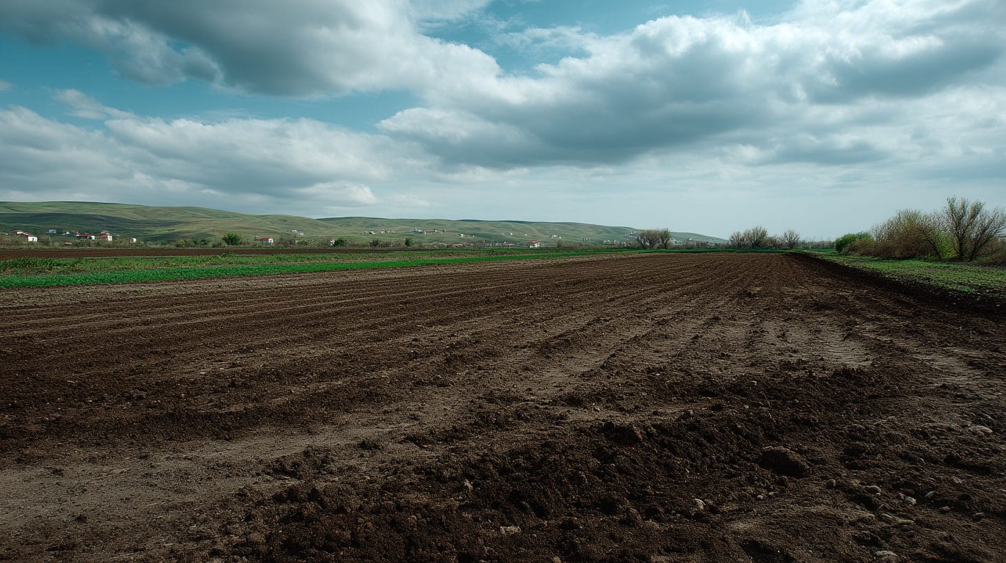
Bucharest, the vibrant capital city of Romania, is characterized by a mix of historical architecture and contemporary urban development. It is surrounded by diverse landscapes, including agricultural areas, forests, and rivers. With ongoing debates about urban sprawl, infrastructure development, and environmental sustainability, the need for accurate land assessments in Bucharest has never been more pertinent.
1. Understanding Satellite Imagery
Before delving into its applications for land assessment near Bucharest, it is essential to understand the types of satellite imagery available. Generally, satellite images can be categorized into two types: optical imagery and radar imagery. Optical imagery provides visible and multispectral information and is highly effective for characterizing vegetation, water bodies, and urban areas. In contrast, radar imagery is invaluable for penetrating clouds and analyzing terrain features even in poor weather conditions.
Satellites such as Landsat, Sentinel, and commercial providers like Planet Labs and DigitalGlobe offer a wide range of high-resolution images suitable for various assessments. The temporal resolution, meaning how often data is collected, is crucial, especially when monitoring changes over time.
2. Applications of Satellite Imagery in Land Assessment
Using satellite imagery for land assessment near Bucharest can offer insights into several critical areas:
a. Land Use and Land Cover Mapping: Satellite imagery can be employed to classify land use and land cover types, such as residential, commercial, agricultural, or forested areas. By using algorithms and classification techniques, analysts can interpret land use patterns and make comparisons over time.
b. Urban Growth Monitoring: Given Bucharest’s rapid urban expansion, satellite imagery serves as a valuable tool for tracking urban growth trends. By comparing images from different years, planners can assess how the city is spreading and identify potential areas for further development or conservation.
c. Environmental Monitoring: Satellite imagery helps in assessing the health of ecosystems surrounding Bucharest. This includes examining changes in forest cover, soil degradation, and water bodies’ conditions. Such monitoring is critical for sustainable land management practices.
d. Disaster Management: In a city prone to extreme weather, satellite imagery can assist in evaluating disaster risks. It can help identify flood-prone areas or regions at risk of landslides, facilitating better preparedness and response strategies.
3. Techniques for Effective Land Assessment
To use satellite imagery effectively for land assessment near Bucharest, follow these key techniques:
a. Data Acquisition: First, identify relevant satellite data that aligns with your objectives. For example, platforms like Google Earth Engine provide access to historical and recent satellite images, allowing you to select images for specific time frames. For detailed analysis, consider higher-resolution images offered by commercial satellite providers.
b. Image Processing: Utilize Geographic Information System (GIS) software to process the satellite images. Tools such as QGIS or ArcGIS allow for layering images, applying classification algorithms, and performing spatial analysis. Image preprocessing steps, such as atmospheric correction and resolution enhancement, will improve analysis quality.
c. Change Detection: Implement change detection techniques to identify and quantify land change in Bucharest over time. Various algorithms, such as normalized difference vegetation index (NDVI) for vegetation analysis or linear regression for urban growth, can assist in highlighting changes.
d. Field Validation: To ensure your findings are accurate, conduct ground truthing through field visits. This process involves verifying the land use classifications against actual conditions observed in-person, providing necessary adjustments to your satellite-derived data.
4. Challenges and Limitations
While satellite imagery is immensely powerful, it is not without its challenges. Limited resolution may hinder detailed analysis in densely populated urban areas like Bucharest. Cloud cover can also obscure useful data, particularly from optical satellites. To mitigate these issues, rely on cloud-free imagery, use radar data when necessary, and combine multiple image sources.
5. Conclusion
Using satellite imagery to assess land near Bucharest stands as a beneficial practice for enhancing urban planning, environmental management, and disaster preparedness. As satellite technology and data accessibility continue to improve, those involved in land assessment can make more informed decisions that will positively impact the city and its surroundings.
To maximize the potential of satellite imagery for land assessment in Bucharest, professionals must stay informed about technological advancements, acquire appropriate training, and foster collaborations with expert geospatial analysts. The insights gained from these assessments will contribute to the sustainable growth of Bucharest, ensuring that it remains a thriving city amidst its evolving landscape.
By embracing satellite imagery, stakeholders can prioritize data-driven policies, safeguard the city’s environment, and foster responsible and sustainable urban growth for future generations. As a result, the practice of utilizing satellite imagery in land assessment near Bucharest offers a promising pathway towards sustainable development and enhanced quality of life for its residents.
Interested in Land Investment in Romania?
We specialize in high-yield land and property opportunities for serious investors.
VIEW OUR CURRENT PORTFOLIOSecure your investment with Land For Investors.
Published: March 15, 2025