
How to Use Satellite and Aerial Imagery to Monitor Lands for Sale Near Bucharest
In the real estate business, particularly in regions with rapidly changing urban landscapes like Bucharest, the demand for innovative technologies to assist in land acquisition has become increasingly vital. Satellite and aerial imagery have emerged as powerful tools for monitoring lands for sale, allowing prospective buyers and investors to gain valuable insights. This article explores how these technologies can be utilized to effectively assess lands near Bucharest, enhancing decision-making and investment strategies.
Understanding Satellite and Aerial Imagery
Satellite imagery refers to images of Earth captured by satellites orbiting the planet, while aerial imagery comes from aircraft and drones flying at lower altitudes. Both types of imagery provide comprehensive views of terrain, vegetation, and urban development, among various features.
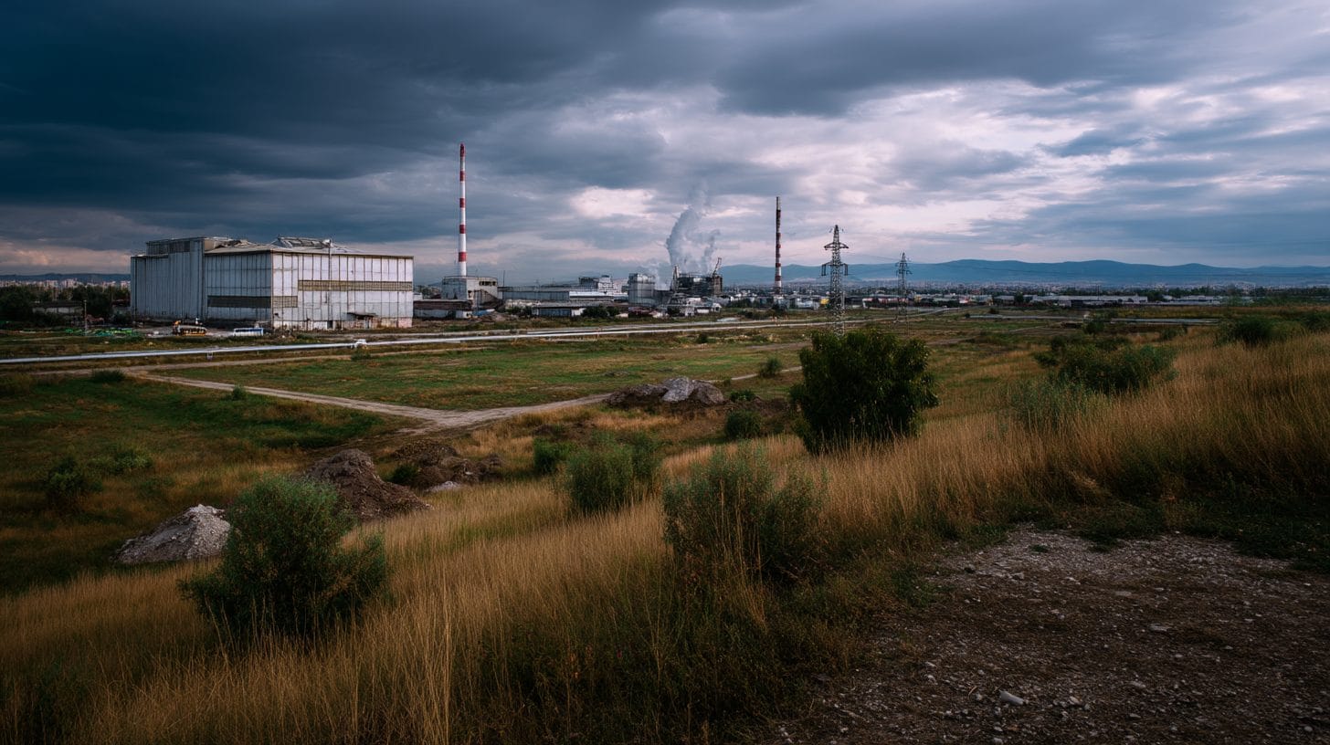
In the context of real estate, these images can reveal important information about land parcels, including geographical features, zoning, development potential, accessibility, and the surrounding environment. This is especially relevant in regions near Bucharest, where land may vary significantly due to a blend of urbanization, agriculture, and natural geography.
The Importance of Satellite and Aerial Imagery in Real Estate
Using satellite and aerial imagery when considering lands near Bucharest offers a multitude of advantages. These technologies allow buyers to visualize properties extensively from different angles and altitudes without necessitating physical visits, thus saving time and resources. Moreover, high-resolution images can display changes over time, enabling prospective buyers to identify trends in land development, agricultural productivity, or urban encroachment.
1. Site Selection and Analysis
One primary use of satellite and aerial imagery is to facilitate site selection. Investors and buyers can analyze land for sale near Bucharest by examining images to determine a site’s suitability for various purposes—residential, commercial, or agricultural. By evaluating the surrounding infrastructure, such as roads, public transport, and amenities, the imagery aids in understanding access to essential services and connectivity to the city center.
Additionally, geographical and environmental analyses can be performed using these images. For instance, imagery can indicate elevation changes, water bodies, and vegetation density, which are critical factors for determining land usability. An investor looking for land for commercial development may prioritize plots with excellent visibility from major roads or proximity to population centers.
2. Monitoring Zoning Regulations and Land Use
Understanding zoning regulations is crucial when purchasing land. Satellite and aerial imagery can help buyers identify existing land use patterns, which can indicate whether a plot is currently residential, commercial, or agricultural, allowing for informed decision-making. This information is particularly relevant in Bucharest, where zoning laws can dynamically change as urban areas expand.
Through analyzing updated imagery, prospective buyers can also identify adjacent developments or planned projects that may influence property value and usability. Buyers can cross-reference this visual data with local municipality records to better understand zoning classifications and potential development rights for specific parcels.
3. Environmental Assessments
Environmental considerations are increasingly essential in real estate transactions. Satellite and aerial imagery plays a crucial role in assessing any potential environmental impacts. For instance, imagery can reveal proximity to green spaces, water bodies, and wildlife habitats—factors that could affect the desirability and legal compliance of a land plot for sale.
Understanding the potential risks of flooding, erosion, or other environmental hazards via high-resolution satellite imagery allows buyers to make educated choices regarding their investments. This is vital for those considering properties near Bucharest, as these areas may have diverse environmental concerns influenced by urban expansion.
4. Cost-Effective Land Surveys
Conducting land surveys can be costly, particularly in regions with extensive land parcels like those surrounding Bucharest. Satellite and aerial imagery can provide initial assessments at a much lower cost. High-resolution imagery allows for detailed examinations of land features, cutting the expense and time associated with traditional land surveying methods.
Data derived from satellite methods can serve as a substitute for preliminary site assessments, allowing savvy investors to narrow down options before undertaking more expensive on-site evaluations. This assists in making quicker decisions about land purchases, thus enhancing competitive buying strategies in a growing real estate market.
5. Monitoring Changes Over Time
One of the significant benefits of using satellite and aerial imagery is the ability to assess changes over time. This capability is particularly beneficial when tracking urban growth near Bucharest. Buyers can examine historical images to evaluate how land and surrounding areas have changed, allowing them to make informed predictions regarding future development potential.
For instance, imagery from different years can reveal trends in agricultural yields or housing developments, highlighting areas of increasing investment or demographic shifts. Understanding these trends provides strategic insights on market timing, thereby enabling investors to capitalize on property appreciation before significant developments occur.
6. Accessibility to Data
Numerous online platforms offer access to satellite and aerial imagery. This democratization of information is especially advantageous for prospective buyers looking for lands near Bucharest, as it allows individuals and small investors to access resources that were previously reserved for large corporations or government agencies.
Platforms like Google Earth, Maxar Technologies, and various real estate analytics services provide comprehensive imagery and mapping tools that can be invaluable when exploring investment opportunities. By utilizing these resources, potential buyers can stay ahead in the competitive Bucharest real estate market, making data-driven decisions.
Taking Action: Steps to Leverage Imagery
To effectively utilize satellite and aerial imagery when monitoring lands for sale near Bucharest, buyers should follow an organized process:
1. Identify the Property: Start by defining the location and characteristics of the land you’re interested in. Use online mapping tools to visualize the area.
2. Access Imagery: Utilize satellite and aerial imagery platforms to access high-resolution images of the prospective land. Look for historical images to evaluate changes over time.
3. Analyze Features: Evaluate key geographical and environmental features revealed in the imagery. Consider accessibility, surrounding infrastructure, land use, and zoning classifications.
4. Cross-Reference Information: Compare visual data with municipal records, zoning maps, and environmental assessments to gather comprehensive insights about the property.
5. Make Informed Decisions: Use the information gathered to make educated decisions concerning land purchases, adhering to your investment strategies and goals.
6. Consult Professionals: Engage with real estate professionals to ensure all potential concerns are addressed and that the analysis aligns with the latest market trends.
In conclusion, employing satellite and aerial imagery is an innovative method for monitoring lands for sale near Bucharest. By leveraging these technologies, prospective buyers can access crucial information that aids in making informed decisions, enhances investment strategies, and accurately assesses changing landscapes. As the real estate market continues to evolve, such tools will undoubtedly become increasingly essential for those seeking viable opportunities in this vibrant region of Romania.
Interested in Land Investment in Romania?
We specialize in high-yield land and property opportunities for serious investors.
VIEW OUR CURRENT PORTFOLIOSecure your investment with Land For Investors.
Published: April 20, 2025