
How to Use Interactive Maps to Showcase Land Opportunities in Romania
In today’s rapidly evolving digital landscape, the integration of technology in various sectors has become imperative. One of the most innovative technologies to emerge is the use of interactive maps, which can significantly enhance the way land opportunities in Romania are presented. From real estate developers looking to invest in new properties to buyers searching for the perfect plot, interactive maps serve as a powerful tool to engage and inform audiences about potential land opportunities in Romania.
This article will delve into the intricacies of utilizing interactive maps to effectively showcase land opportunities in Romania, offering insights into best practices, tools, and strategies. By the end, readers will gain a comprehensive understanding of how to use interactive maps to attract interest and drive decision-making.
Understanding Interactive Maps
Interactive maps blend geographical information systems (GIS) with user-friendly interfaces, enabling users to navigate and interact with spatial data. Unlike traditional static maps, interactive maps allow users to zoom, pan, and click on specific land parcels to access additional information. This form of engagement not only makes the data more accessible but also enhances the overall user experience.
In the context of showcasing land opportunities in Romania, interactive maps can display various data layers, including zoning regulations, land prices, environmental considerations, and proximity to amenities. By curating rich, multi-dimensional data within a geographic framework, stakeholders can facilitate informed decision-making regarding land purchases, investments, and developments.
The Importance of Highlighting Land Opportunities in Romania
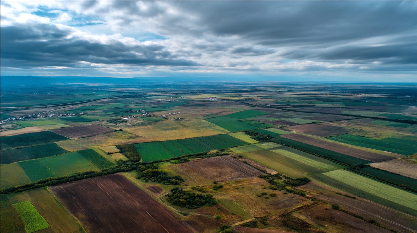
Romania, with its rich natural resources, diverse landscapes, and strategic location in Eastern Europe, presents a wealth of land opportunities for various sectors, including agriculture, tourism, real estate, and renewable energy. In recent years, foreign investors have increasingly recognized the potential of Romanian land, making it crucial for sellers and developers to attract their attention effectively.
The Romanian economy is on a trajectory of growth, supported by EU funding, infrastructure development, and a skilled workforce. As such, showcasing land opportunities through interactive maps can play a vital role in promoting investment and encouraging responsible land use. By utilizing advanced mapping technology, stakeholders can convey vital information about zoning, land features, market trends, and growth forecasts, thus driving informed decisions.
Steps to Create Interactive Maps for Land Opportunities in Romania
1. Identify Goals and Audience
Before embarking on the creation of interactive maps, it is essential to identify the primary goals and target audience. Whether your objective is to attract potential buyers, showcase available land for development, or highlight agricultural opportunities, understanding your audience will guide the feature set, design, and communication strategy of your interactive map.
2. Collect Relevant Data
The next step involves gathering data pertinent to showcasing land opportunities in Romania. This data may include parcel boundaries, zoning information, land use, demographic statistics, and environmental assessments. Additionally, consider aggregating data from public sources, government agencies, and industry reports to enrich your maps with valuable insights.
3. Choose the Right Mapping Tool
Numerous mapping platforms enable the creation of interactive maps with minimal coding knowledge. Popular tools such as Leaflet, Mapbox, and Google Maps API offer a range of features that can display land opportunities in an engaging manner. Choosing the right tool depends on your specific needs, budget, and technical expertise.
4. Designing the Map Interface
An intuitive, user-friendly interface is crucial for ensuring that users can effectively navigate your interactive map. Design elements to consider include:
– Layering Options: Enable users to toggle between different layers of data (e.g., zoning, land prices, and amenities) to gain deeper insights.
– Search and Filter Functions: Facilitate easy search capabilities and filter options so users can quickly find land opportunities that meet their criteria.
– Information Pop-Ups: Incorporate informative pop-ups that provide details on land parcels when clicked, including price, size, and any additional features.
5. Implementing SEO Best Practices
To maximize visibility and attract a broader audience, incorporating Search Engine Optimization (SEO) best practices is essential. Optimize your interactive map and related content using the targeted keyword “interactive maps land opportunities Romania.” This includes:
– Creating descriptive meta tags and alt text for images.
– Utilizing header tags to structure the content and enhance readability.
– Incorporating the keyword in the map’s title, descriptions, and related blog articles.
6. Promotion and Engagement
Once your interactive map is complete, it’s time to promote it. Use social media platforms, industry-specific forums, and blogs related to real estate and land investment in Romania to share your maps. Engaging with your audience through informative content and visual storytelling can generate buzz and attract more visitors.
7. Collect Feedback and Iterate
After launching your interactive maps, actively seek feedback from users to identify areas for improvement. Utilize analytics tools to track user behavior and engagement levels. This data will inform future iterations of your interactive maps and help you optimize performance.
Emerging Trends in Interactive Mapping
As technology evolves, new trends in interactive mapping will continue to shape the real estate and land development landscape in Romania. Some emerging trends include:
– Integration of 3D Visualization: Enhanced three-dimensional representations of land parcels allow users to visualize the terrain better, providing a clearer understanding of topography and land features.
– Mobile Compatibility: With the increasing use of smartphones, ensuring that your interactive map is mobile-responsive will enhance accessibility and improve user engagement.
– Data Visualization: Utilizing graphs, charts, and infographics within your interactive maps can help visualize complex data, making it more digestible for users.
Conclusion
The utilization of interactive maps to showcase land opportunities in Romania has become an invaluable methodology for engaging potential investors, buyers, and stakeholders. By effectively presenting spatial data and incorporating user-centric design, interactive maps can significantly enhance the understanding of land opportunities and foster informed decision-making.
As Romania continues to develop economically, leveraging technology to showcase land opportunities will not only attract investment but also promote sustainable land use practices. By embracing the power of interactive maps, stakeholders can position themselves at the forefront of the evolving real estate landscape in Romania.
Interested in Land Investment in Romania?
We specialize in high-yield land and property opportunities for serious investors.
VIEW OUR CURRENT PORTFOLIOSecure your investment with Land For Investors.
Published: April 14, 2025