
Title: How to Use Drone Photography to Assess Properties Near Bucharest
In recent years, drone photography has revolutionized various industries, including real estate, agriculture, and infrastructure assessment. For professionals and investors looking to evaluate properties near Bucharest, utilizing drone photography offers a unique, efficient, and highly effective means of obtaining vital information. This article will delve into how drone photography can enhance property assessments and provide practical insights on implementing this technology effectively.
Understanding Drone Photography and its Benefits
Drone photography involves using unmanned aerial vehicles (UAVs) equipped with high-resolution cameras to capture images and videos from unique angles and perspectives. This method surpasses traditional photography significantly, enabling a comprehensive view of properties and their surroundings.
One of the foremost benefits of drone photography for properties near Bucharest is the ability to survey large areas quickly. Traditional methods like ground-level photography can be time-consuming and limited in scope. Drones can cover expansive terrains in a short time, making it easier to gather data on multiple properties within a day.
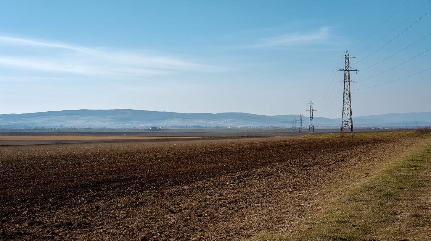
Moreover, drone photography provides a bird’s-eye view of the landscape, allowing potential buyers or investors to assess property boundaries, nearby infrastructure, and the natural environment. This visual context can be invaluable in making informed property decisions and offers a competitive edge in the real estate market.
Essential Equipment and Tools
To embark on a successful drone photography project for assessing properties near Bucharest, it is essential to invest in quality equipment. Selecting a suitable drone model is paramount. Popular options that cater to real estate photography include the DJI Phantom 4 Pro and the Mavic 2 Pro. These drones are equipped with high-definition cameras capable of capturing stunning aerial imagery and videos.
In addition to the drone itself, a reliable remote controller and a set of extra batteries to ensure extended flight time are also necessary. Consider investing in software for editing and processing the images, such as Adobe Lightroom or Photoshop, to enhance the final outputs and ensure they meet professional standards.
Legal Considerations and Regulations
When using drone photography for properties near Bucharest, awareness of local regulations governing drone flights is crucial. Romania, like many countries, has specific rules that must be followed to ensure safe and compliant drone operations. Operators must familiarize themselves with the regulations set forth by the Romanian Civil Aeronautical Authority (AACR).
In general, drone operators are required to maintain visual line-of-sight with their drone, adhere to altitude restrictions, and avoid flying over populated areas unless they have received the necessary permissions. It’s advisable to obtain any required permits before conducting drone operations, especially when capturing footage of commercial properties.
Conducting Property Assessments with Drone Photography
To ensure effective property evaluation using drone photography, a systematic approach is key. Here’s a step-by-step guide:
1. **Define Objectives**: Set clear goals for your drone photography project. Are you looking to assess the condition of a property, analyze landscaping, or evaluate surrounding infrastructure? Understanding your objectives will help tailor your flight plan.
2. **Plan Your Flight Path**: Prior to taking flight, develop a clear flight plan based on the property’s layout and the areas that need to be assessed. Utilize drone mapping software to create predetermined flight paths that can optimize coverage and minimize flight time. Setting a grid pattern will ensure you capture all relevant angles and details.
3. **Capture High-Quality Images**: During the flight, capture high-resolution images and video footage from various angles. Consider shooting at different altitudes to provide a comprehensive overview. A combination of wide-angle shots and close-ups will give potential buyers or investors a complete picture of the property.
4. **Assess the Surroundings**: Take special care to capture the surrounding landscape. Evaluating nearby amenities, roads, parks, and potential environmental concerns are critical in the property assessment process. Aerial photography can provide insights into development opportunities or challenges that might not be visible from the ground.
5. **Post-Processing**: Once the images and footage are captured, use editing software to enhance the quality of your drone images. Crop unwanted elements, adjust lighting and contrast, and compile your images into a professional portfolio that effectively showcases the property.
6. **Share Findings**: Leverage the power of social media and property listing platforms to present your findings. High-quality aerial images can significantly enhance property marketing efforts, attracting more potential buyers and investors.
SEO Considerations for Drone Photography
As you create content related to drone photography properties near Bucharest, incorporating SEO best practices will help improve visibility on search engines. Start by integrating the keyword “drone photography properties near Bucharest” into various sections of the article. This can include headers, image alt tags, and meta descriptions. Remember to maintain a natural flow of the text while emphasizing your chosen keywords.
Utilizing local SEO can enhance your reach within the Bucharest real estate market. Incorporate local listings, resources, and relevant local terms related to properties near Bucharest. Engaging with local online communities, such as real estate forums and social media groups, can also boost your online presence.
Conclusion
The use of drone photography to evaluate properties near Bucharest presents a combination of efficiency and effectiveness that traditional methods cannot match. By utilizing quality equipment, understanding legal requirements, and employing a strategic approach, property assessments can be conducted with a high level of accuracy and professionalism. As the real estate market near Bucharest continues to evolve, integrating drone photography into property evaluations will undoubtedly remain a valuable asset for investors and real estate professionals alike.
Interested in Land Investment in Romania?
We specialize in high-yield land and property opportunities for serious investors.
VIEW OUR CURRENT PORTFOLIOSecure your investment with Land For Investors.
Published: April 24, 2025