
How to Assess the Topography of Land on Bucharest’s Ring Road
Assessing the land topography around Bucharest’s Ring Road is critical for various stakeholders, including urban planners, real estate developers, and environmental assessors. Understanding the physical characteristics of the terrain not only informs land use planning but also impacts construction, infrastructure development, and environmental sustainability. This article explores the essential components of a comprehensive land topography assessment specifically for the area surrounding Bucharest’s Ring Road.
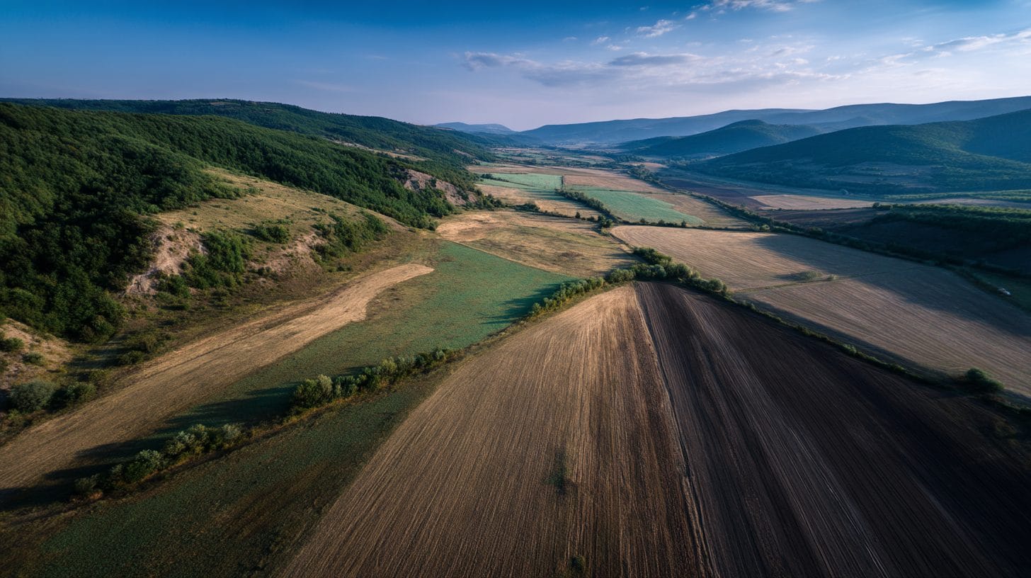
Location Overview
Bucharest’s Ring Road, or the “Centura București,” serves as a crucial artery that encircles the capital city, providing vital connectivity for both regional and national traffic. The surrounding land features a mix of urban and peri-urban zones, with diverse geographical characteristics that warrant detailed examination. The proximity to the city center, coupled with natural features such as the Dâmbovița River and various green spaces, creates a unique environment for land assessment.
Understanding Land Topography
Land topography refers to the arrangement of the natural and artificial physical features of a specific area. This includes elevation, slope, drainage patterns, and vegetation cover. A detailed assessment of topography is essential, as it affects water drainage, soil quality, habitat diversity, and potential development risks. Assessing land topography can help identify optimal building sites, zoning regulations, and potential environmental impacts.
Criteria for Land Topography Assessment
When assessing the topography of land along Bucharest’s Ring Road, several key criteria must be considered:
1. Elevation and Slope Analysis: Identifying the elevation of the land helps in understanding its drainage patterns. Steeply sloped areas may be prone to erosion, while flat areas may require drainage planning to prevent flooding. Using digital elevation models (DEMs) can help in visualizing these features effectively.
2. Soil Composition: The types of soil present in the area influence land use. Knowing whether the soil is sandy, clay-rich, or loamy will dictate agricultural potential, construction viability, and landscaping efforts. Soil studies can provide insight into the land’s drainage capacity and its suitability for various purposes.
3. Hydrology: A comprehensive assessment of nearby water bodies and drainage systems is crucial. It is essential to identify the proximity to the Dâmbovița River and other water sources to evaluate potential flooding risks. Knowing how water flows through the landscape will inform development planning and necessary mitigation strategies.
4. Vegetation and Land Use: Existing vegetation can indicate the land’s ecological health and assist in determining the best potential uses for the property. Areas rich in native flora may be significant for conservation efforts. Moreover, understanding current land use patterns can help identify necessary zoning changes.
5. Geological Features: Assessing geological features such as faults and rock formations can help in understanding the stability of the land. Geological surveys can provide essential data about landslide risks or soil liquefaction potential, factors critical to construction and infrastructure projects.
6. Land Use Trends and Urbanization: Observing how land use has evolved around Bucharest’s Ring Road can offer valuable insights. Understanding trends in urbanization, including residential or commercial development, can help anticipate future demands and infrastructure needs.
Tools and Technologies for Topography Assessment
To conduct a thorough topography assessment, various tools and technologies can be employed:
1. Geographic Information Systems (GIS): GIS software can analyze spatial relationships and visualize topographical data. ArcGIS or QGIS are popular platforms that allow stakeholders to layer different datasets such as elevation, hydrology, and land use.
2. Remote Sensing: Satellite imagery and aerial photography can provide an overarching view of land characteristics. This is particularly helpful in rapidly evolving urban areas to monitor changes over time.
3. Drone Surveys: Unmanned aerial vehicles (UAVs) equipped with high-resolution cameras can capture detailed images and topographic data at a fraction of the time and cost of traditional survey methods.
4. Field Surveys: Ground-based assessments remain critical for high-accuracy measurements. Professional surveys conducted by licensed land surveyors will often provide the most accurate results regarding elevation and boundary delineation.
5. Environmental Impact Assessments (EIAs): Conducting EIAs can help understand the potential environmental impacts of land use changes. This often includes an evaluation of the topography and its suitability for anticipated changes.
Implementing the Assessment Process
Conducting a thorough land topography assessment along Bucharest’s Ring Road should follow a structured approach:
1. Setting Objectives: Clearly define the goals of the topography assessment, whether for construction, zoning, or environmental conservation.
2. Data Collection: Gather existing data from government databases, research institutions, and historical records. Utilize modern tools such as GIS and drones to collect new information.
3. Data Analysis: Analyze the collected data to identify patterns and relevant relationships. This step may involve the use of various analytical techniques, including statistical methods or machine learning algorithms.
4. Reporting Findings: Compile the assessment results in a detailed report that outlines the land’s topographical features, potential risks, and development recommendations. Visual aids such as maps and charts can enhance comprehension.
5. Stakeholder Engagement: Engage with local stakeholders, including landowners, community groups, and government agencies. Gathering insights from various perspectives can enrich the assessment process and foster collaboration.
Conclusion
Conducting a land topography assessment around Bucharest’s Ring Road is a multifaceted process that requires an in-depth understanding of various environmental, geological, and socio-economic factors. Embracing modern technologies like GIS and remote sensing enhances the accuracy and efficiency of the assessment, enabling stakeholders to make informed decisions regarding land use and development. Ultimately, a thorough understanding of land topography will contribute to sustainable urban growth, effective planning, and the preservation of Bucharest’s natural environment.
Interested in Land Investment in Romania?
We specialize in high-yield land and property opportunities for serious investors.
VIEW OUR CURRENT PORTFOLIOSecure your investment with Land For Investors.
Published: March 21, 2025