
A Guide to Using Drone Technology to Evaluate Properties Near Bucharest
In the ever-evolving real estate industry, technology plays a crucial role in enhancing efficiency, accuracy, and overall due diligence. One of the most transformative innovations in recent years is drone technology. As property evaluation becomes increasingly sophisticated, integrating aerial data collection through drones has emerged as an invaluable tool for real estate professionals. This guide aims to explore how drone technology can be employed to evaluate properties near Bucharest, providing insights into benefits, applications, and practical tips for implementation.
Understanding Drone Technology
Drones, also known as unmanned aerial vehicles (UAVs), are capable of capturing high-resolution imagery, conducting surveys, and gathering data from angles and perspectives previously unavailable. This technology is governed by a combination of hardware and software, typically incorporating advanced cameras, GPS units, and various sensors. The results are not just stunning visuals; they also yield data-rich insights that enhance property analysis.
The Relevance of Drone Technology in Property Evaluation
The real estate market in and around Bucharest has seen a surge in growth, leading to increased competition among buyers, sellers, and investors. Evaluating properties accurately is essential for making informed decisions. Drone technology provides several advantages that make it a superior choice for property evaluation near Bucharest.
Firstly, aerial photography offers broader perspectives on properties, including surrounding landscapes, access routes, and neighboring infrastructures. Such information is crucial for investors who need to assess location desirability. Secondly, drones can easily access hard-to-reach areas. This versatility enables a thorough inspection of properties, particularly those with substantial outdoor spaces or challenging terrain. Lastly, drones can operate efficiently and cost-effectively, significantly reducing the time and manpower required for traditional survey methods.
Applications of Drone Technology in Property Evaluation Near Bucharest
The applications of drone technology in property evaluation are diverse and cater to various professional needs. Here are some key ways this technology can be employed:
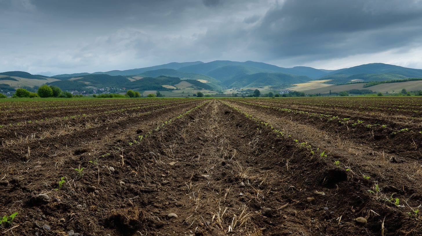
1. Aerial Surveys: Drones can conduct topographical surveys of large tracts of land efficiently. These surveys provide essential information such as elevation changes, water bodies, and soil conditions, which are crucial for potential land development near Bucharest.
2. Property Inspection: Routine inspections are fundamental for maintaining property value. Drones can easily carry out roof and facade inspections, revealing maintenance needs and damage from weather conditions without requiring scaffolding or ladders.
3. Marketing and Promotion: Aerial images captured by drones can dramatically enhance marketing materials. Whether you are promoting residential or commercial properties near Bucharest, high-quality visuals can attract potential buyers and investors by vividly showcasing property features.
4. Monitoring Development Progress: Developers can use drones for regular aerial tracking of construction progress. Time-lapse imagery can demonstrate project advancements and improve communication with stakeholders.
5. Land Use Analysis: Drones are effective for analyzing current land use patterns, evaluating zoning regulations, and even assessing environmental factors. This analysis can provide critical insights for buyers looking for long-term investment opportunities.
6. Disaster Assessment: In situations where natural disasters or accidents have occurred, drones can quickly survey damage. This rapid assessment can help property owners, insurance agencies, and municipal authorities make informed decisions regarding recovery and value re-evaluation.
Best Practices for Implementing Drone Technology in Property Evaluation
Incorporating drone technology into property evaluations near Bucharest requires careful planning and execution. Here are some best practices to consider:
1. Understand Legal Requirements: Before deploying drones for aerial photography and data collection, it is important to familiarize yourself with local regulations and obtain necessary permits. The Romanian Civil Aeronautical Authority regulates drone operations, ensuring compliance with safety and privacy laws.
2. Choose the Right Equipment: Selecting drones equipped with high-resolution cameras and capable of carrying out the intended tasks is crucial. Various models offer unique features, from optical zoom capabilities to thermal sensors for detecting heat leakages.
3. Utilize Software for Data Analysis: To maximize the benefits of aerial data, use specialized software for geospatial analysis, mapping, and modeling. These tools will enable you to visualize data effectively, generating valuable insights for property evaluation.
4. Ensure Data Security: Protecting the data gathered by drones is paramount. Establish secure storage and sharing protocols to safeguard sensitive information related to property evaluations.
5. Engage Skilled Operators: If you lack drone operation experience, consider hiring licensed and skilled drone pilots. Their expertise will ensure that imaging and data collection are executed flawlessly, resulting in high-quality outputs.
Conclusion
In conclusion, the integration of drone technology offers an innovative approach for evaluating properties near Bucharest. With the ability to capture comprehensive and detailed images, conduct thorough inspections, and manage large scopes of land efficiently, drones represent a transformative asset in the property evaluation process. As the real estate market continues to grow and evolve in Bucharest and beyond, leveraging drone technology will become increasingly essential for investors, buyers, and real estate professionals seeking to gain a competitive advantage. Embrace the promise of aerial data gathering, and take the first step toward a more precise and efficient property evaluation strategy today.
Interested in Land Investment in Romania?
We specialize in high-yield land and property opportunities for serious investors.
VIEW OUR CURRENT PORTFOLIOSecure your investment with Land For Investors.
Published: April 26, 2025