
A Guide to Understanding Land Survey Reports on Bucharest’s Ring Road
In the ever-evolving landscape of urban development, land survey reports are essential documents that provide valuable insights into land use, property boundaries, and topographical features. For stakeholders involved in real estate, urban planning, and infrastructure development, particularly on significant thoroughfares such as Bucharest’s Ring Road, understanding the intricacies of these reports is paramount. This guide aims to comprehensively explain land survey reports specific to the Bucharest Ring Road, highlighting their importance, content, and implications for future projects in this strategically vital area.
What Are Land Survey Reports?
Land survey reports are professional documents prepared by licensed land surveyors that detail the geographical specifics of a tract of land. These reports encompass information about property boundaries, existing features, elevation, and potential encroachments that may affect ownership and usage rights. When it comes to urban projects like those surrounding Bucharest’s Ring Road, these reports become instrumental in guiding decision-makers, developers, and investors through intricate legal and technical complexities.
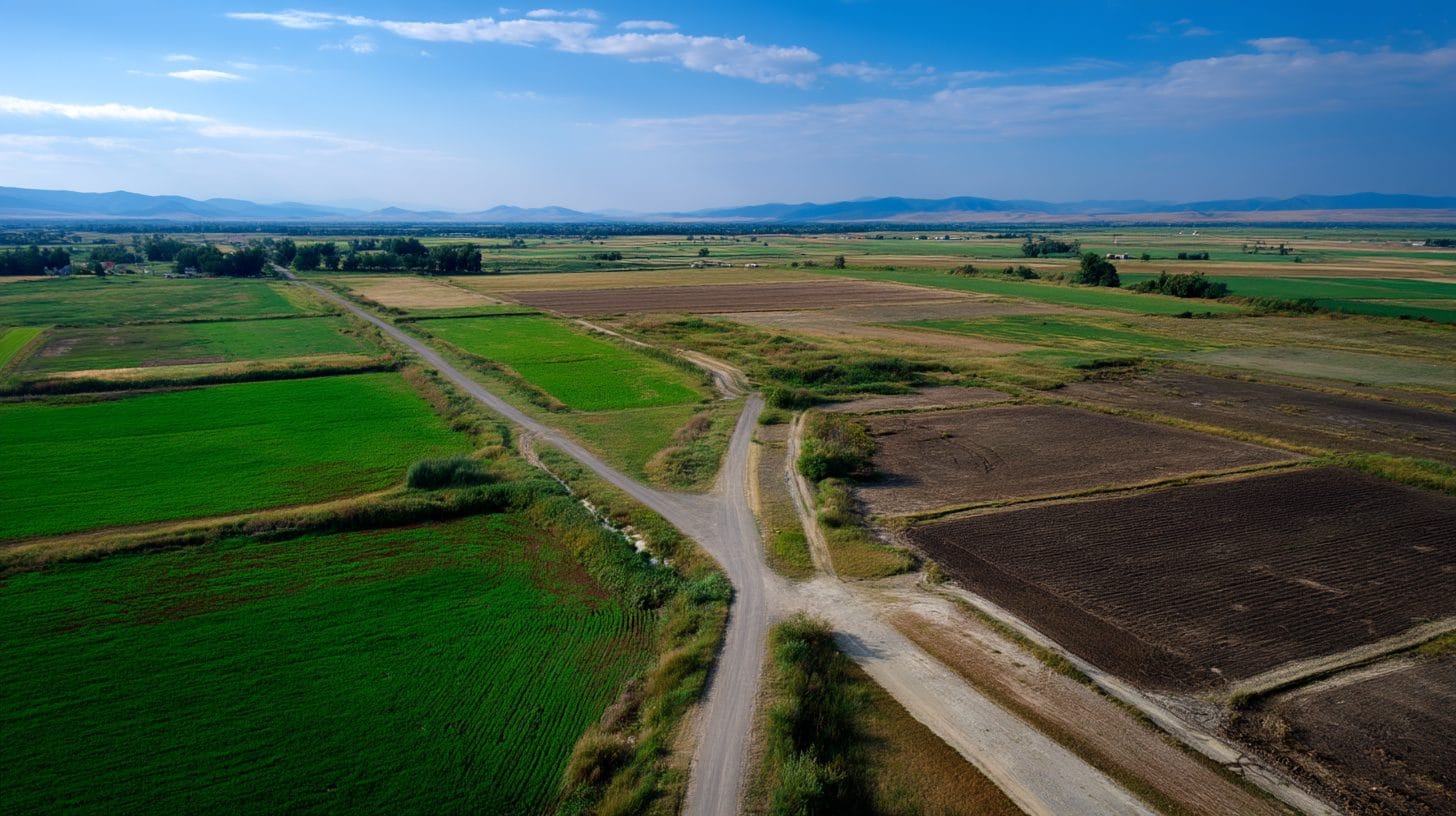
Bucharest’s Ring Road: A Strategic Layout
Bucharest’s Ring Road, or “Șoseaua de Centură,” encircles the capital and serves as a crucial transportation artery that connects various sectors of the city while facilitating access to surrounding areas. This vital roadway supports economic activities and is integral to planned development in the vicinity. As urban pressures increase, projects along the Ring Road face challenges such as land acquisition, compliance with zoning laws, and environmental considerations, all of which can be guided by thorough land survey reports.
Key Components of Land Survey Reports for Bucharest’s Ring Road
When delving into land survey reports for Bucharest’s Ring Road, it’s essential to recognize the critical components found within these documents. The following sections outline what stakeholders can expect to see in such reports:
1. Boundary Surveys:
Boundary surveys ascertain the exact limits of a property. Given the Ring Road’s strategic importance, an accurate understanding of property boundaries helps avoid disputes and errors in development. The surveyor marks the corners and lines, often using physical stakes or other markers.
2. Topographic Surveys:
Topographic surveys provide a detailed portrayal of the land’s physical features, including elevation changes, hills, streams, vegetation, and existing man-made structures. This information is crucial for architecture, infrastructure planning, and environmental assessments, which are particularly pertinent on a busy thoroughfare like the Ring Road.
3. Geodetic Surveys:
Incorporating geodetic principles ensures that the land survey accounts for the curvature of the Earth and delivers precise measurements over larger areas. For Bucharest’s Ring Road, where extensive planning is required, the geodetic survey is vital in creating accurate maps that inform design and construction.
4. Utility Surveys:
Utility surveys identify the location of underground utilities, such as water lines, electricity cables, gas pipelines, and sewage systems. Understanding where these utilities lie is essential for any construction or major alteration project to prevent accidents, delays, and costly repairs.
5. Environmental Assessments:
Given that urban expansion impacts the surrounding environment, many land survey reports now include environmental impact assessments. These assessments determine the effects a proposed project might have on local ecosystems and help ensure compliance with environmental regulations.
The Importance of Accuracy and Compliance
Accuracy in land survey reports is not just a bureaucratic requirement; it is a legal necessity. In Romania, a reliable land surveyor must perform all projects adhering to national standards and regulations. Inaccuracies can lead to significant legal disputes, financial losses, and delays in project timelines. Consequently, stakeholders involved in projects on Bucharest’s Ring Road must choose qualified professionals with a strong track record of producing accurate and compliant land survey reports.
Navigating Legal and Regulatory Frameworks
Understanding the legal implications of land survey reports is crucial in Bucharest due to the complexities of property laws and urban planning regulations. Each survey report provides documentation that can serve as evidence in property disputes or regulatory reviews. Engaging with legal experts who specialize in real estate can help stakeholders navigate the often intricate landscape of zoning laws, construction permits, and environmental regulations that govern development along the Ring Road.
Practical Uses of Land Survey Reports in Development Projects
Land survey reports have numerous practical applications that resonate strongly within development projects along Bucharest’s Ring Road. Here are some notable examples:
1. Real Estate Transactions:
For buyers and sellers, having a full understanding of survey reports can influence negotiation terms and property pricing, ensuring that the buyer is aware of the exact parameters and characteristics of the property.
2. Construction Planning:
Developers rely on land survey reports to understand the lay of the land, informing placement and design decisions for new constructions, roads, and other infrastructures.
3. Valuation and Investment Decisions:
Investors utilize land survey reports to evaluate potential investments. Knowledge of property lines, topography, and existing utilities informs smarter underwriting processes.
4. Mitigating Risk:
By understanding the comprehensive details laid out in survey reports, developers can better foresee and mitigate risks associated with boundary disputes, inadequate land preparation, or regulatory non-compliance.
5. Planning Infrastructure Developments:
In public projects, accurate survey reports are indispensable for ensuring that infrastructure developments like bridges, tunnels, or transit stations are appropriately situated, facilitating efficient urban mobility along the Ring Road.
Conclusion
Understanding land survey reports for Bucharest’s Ring Road is vital for anyone involved in urban planning, real estate, or infrastructure development. These detailed documents lay the groundwork for successful, compliant, and sustainable projects, shaping the future of the capital’s transportation landscape. By leveraging the comprehensive knowledge contained within these reports, stakeholders can navigate the many complexities and challenges that arise in the modern urban setting, ensuring effective growth and development in one of Romania’s most critical zones. As Bucharest continues to evolve, the role of land survey reports will remain a cornerstone in the successful execution of projects that contribute to the prosperity of the city and its residents.
Interested in Land Investment in Romania?
We specialize in high-yield land and property opportunities for serious investors.
VIEW OUR CURRENT PORTFOLIOSecure your investment with Land For Investors.
Published: March 21, 2025