
Title: How to Use Satellite Imagery for Land Research in Romania
Introduction
Satellite imagery has emerged as a transformative tool in the field of land research, offering an unprecedented view of the Earth’s surface. In the context of Romania, a country known for its diverse landscape and rich natural resources, satellite imagery plays a vital role in monitoring land-use changes, studying environmental degradation, and facilitating urban planning. This article explores the various applications of satellite imagery for land research in Romania, highlighting the types of satellite data available, relevant technologies, methodologies, and case studies that showcase its effectiveness.
Understanding Satellite Imagery
Satellite imagery refers to pictures of the Earth taken from satellites orbiting the planet. These images can be captured with varying degrees of detail and at different wavelengths, allowing researchers to analyze land features and changes over time. The most common types of satellite imagery used in land research include optical imagery, radar imagery, and multispectral and hyperspectral imagery. Each type provides unique insights and is suited for different research applications.
Applications of Satellite Imagery in Land Research in Romania
1. Land Use Mapping
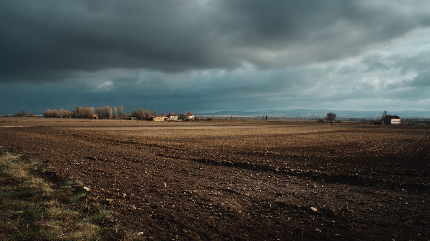
One of the primary applications of satellite imagery in land research is land use mapping. Researchers can utilize high-resolution imagery to classify different land use types, such as agricultural land, urban areas, forests, and water bodies. In Romania, understanding land use patterns is crucial for effective land management and ensuring sustainable use of resources.
2. Agricultural Monitoring
Romania is one of the largest agricultural producers in Europe, and satellite imagery is vital for monitoring crop health and agricultural practices. By analyzing multispectral data, researchers can assess vegetation indices, identify areas affected by pests or diseases, and optimize irrigation practices. Satellite imagery can also help in predicting yields and improving food security.
3. Urban Planning and Management
As cities in Romania continue to grow, urban planning becomes increasingly complex. Satellite imagery provides planners with critical data regarding urban sprawl, infrastructure development, and population density. By visualizing land cover changes over time, authorities can make informed decisions to manage urban growth sustainably and invest in green spaces.
4. Forest Monitoring and Management
Romania boasts vast forested areas, making forest management imperative for environmental conservation and biodiversity. Using satellite imagery, researchers can monitor deforestation, track forest health, and assess the impacts of climate change. Such analysis is valuable for creating policies aimed at conserving Romania’s rich natural heritage.
5. Environmental Monitoring and Disaster Management
Satellite imagery is instrumental in monitoring environmental changes such as soil erosion, land degradation, and water quality. In Romania, this technology can assist in assessing the impacts of natural disasters like floods or landslides. By providing timely and accurate data, satellite imagery aids in disaster response planning and risk management.
6. Climate Change Research
The impacts of climate change are evident globally, including in Romania. Satellite imagery can help researchers study temperature changes, glacial retreat, and changes in vegetation over time. This data is crucial for developing adaptation strategies and informing policy decisions aimed at mitigating climate change’s adverse effects.
Technologies and Tools for Analyzing Satellite Imagery
To successfully utilize satellite imagery for land research in Romania, researchers often employ various technologies and tools. Geographic Information Systems (GIS) play a fundamental role in analyzing and visualizing satellite data alongside other spatial information. GIS software allows researchers to manipulate satellite imagery, conduct spatial analyses, and create detailed maps.
Remote sensing techniques, combined with machine learning algorithms, have advanced significantly, enabling more efficient classification and interpretation of satellite data. Commonly used software for processing satellite imagery includes QGIS, ArcGIS, and ENVI. Additionally, Google Earth Engine is a powerful cloud-based platform that facilitates large-scale analysis of satellite data, making it accessible for researchers and policymakers alike.
Methodologies for Satellite Imagery Analysis
Effective land research using satellite imagery necessitates the implementation of robust methodologies. The following steps outline a general approach to conducting satellite imagery analysis in Romania:
1. Define Research Objectives: Clearly outline the goals of your research, whether it be land use classification, agricultural monitoring, or forest health assessment.
2. Data Collection: Identify appropriate satellite imagery sources. Various platforms, such as Sentinel, Landsat, and commercial satellite providers like Planet Labs, offer valuable data suited for research needs. Ensure data is acquired at appropriate spatial and temporal resolutions.
3. Preprocessing: Preprocess the satellite imagery to correct for atmospheric interference, geometric distortions, and sensor noise. This step ensures the reliability of the analysis.
4. Image Classification: Utilize supervised or unsupervised classification techniques to categorize land cover types based on spectral signatures. Machine learning algorithms can enhance the accuracy of classifications.
5. Change Detection: Employ change detection techniques to analyze variations in land cover over time. This step is vital for understanding trends in land use, detecting urban expansion, or monitoring environmental changes.
6. Data Integration: Integrate satellite imagery analysis with other data sources, such as socio-economic data or ground-truth information, to provide a comprehensive understanding of land-use dynamics.
7. Visualization and Reporting: Visualize results using maps, graphs, and reports to effectively communicate findings to stakeholders, policymakers, and the public.
Case Studies of Satellite Imagery Applications in Romania
Numerous case studies highlight the practical applications of satellite imagery for land research in Romania:
1. Assessing the Impacts of Agriculture Practices in Transylvania: Researchers utilized Landsat imagery to analyze changes in land use patterns and their effects on biodiversity in Transylvania’s agricultural landscapes. The study emphasized the need for sustainable practices and highlighted areas for potential conservation efforts.
2. Urban Expansion in Bucharest: A study focusing on Bucharest employed high-resolution satellite imagery to map urban expansion and infrastructure development between 2000 and 2020. The research provided insights into land consumption trends and suggested policies for sustainable urban growth.
3. Monitoring Deforestation in the Carpathian Mountains: Using Sentinel-2 imagery, researchers monitored forest cover changes in the Carpathian Mountains, revealing critical information about environmental degradation and proposing strategies for forest management.
Conclusion
Satellite imagery serves as a powerful tool for land research in Romania, offering valuable insights into land use patterns, agricultural practices, urban dynamics, and environmental monitoring. By effectively leveraging advanced technologies and methodologies, researchers can contribute significantly to sustainable land management and environmental protection in the country. As the challenge of climate change intensifies and urban areas continue to expand, the role of satellite imagery in land research will only grow in importance. Researchers, policymakers, and stakeholders must embrace this innovative approach to ensure the sustainable development of Romania’s land resources for future generations.
Interested in Land Investment in Romania?
We specialize in high-yield land and property opportunities for serious investors.
VIEW OUR CURRENT PORTFOLIOSecure your investment with Land For Investors.
Published: April 11, 2025